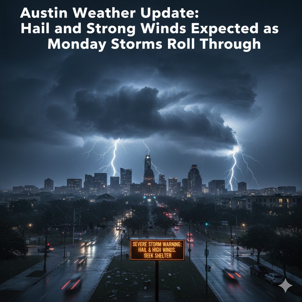
The Austin weather pattern is setting up for another active start to the week, with forecasters warning residents to prepare for the possibility of hail, strong wind gusts, and pockets of heavy rain as a storm system sweeps across Central Texas on Monday. While spring and late-fall storms are nothing new for the region, this system carries enough energy to spark fast-moving thunderstorms capable of producing damaging conditions in a short time.
Meteorologists have been monitoring the atmosphere closely over the weekend, noting a mixture of warm, moist air rising from the Gulf and a strong upper-level disturbance diving in from the west. When these elements collide, the outcome is usually one thing: instability—prime fuel for potentially severe weather. And this Monday, Austin sits right in the zone.
A Setup for Strong Storms
The upcoming Austin weather scenario is linked to a classic clash of air masses. Warmer temperatures settled into Central Texas over the weekend, with daytime highs trending above seasonal averages. At the same time, a cold front is expected to push through the Hill Country and into the metro area by midday Monday.
When a cold, dense air mass undercuts a warm, humid one, it can cause the warmer air to rise rapidly. This rising air then forms towering cumulonimbus clouds—thunderstorms capable of producing hail and damaging winds. According to early model projections, these storms may develop quickly, leaving little time for anyone caught off guard.
While it is still uncertain how widespread the severe weather will be, forecasters agree that large hail and wind gusts between 50–60 mph are the biggest threats. A few storms may briefly intensify into severe territory, especially during the afternoon and early evening hours.
What Time Will Storms Reach Austin?
The timing of the front and storm development remains one of the biggest forecast challenges. However, at the moment, meteorologists expect storms to enter the Hill Country late Monday morning, pushing into the Austin metro area between 1 p.m. and 5 p.m. These timing windows may shift slightly, but residents should plan for potential disruptions during the afternoon and early evening.
Because the storms are expected to move quickly, the worst weather could pass through in a matter of hours. But even a short window of severe weather can bring meaningful hazards—especially hail, which has caused millions of dollars in property damage across Central Texas in recent years.
Hail: The Primary Concern
In recent Austin weather events, hailstorms have proven particularly destructive. From cracked windshields to damaged roofs, hail is one of the costliest forms of severe weather for homeowners and businesses. Monday’s storm system carries an environment favorable for hail formation due to the cold air aloft and strong updrafts predicted to develop.
Forecasters say hail sizes could range from pea-sized to quarter-sized in the strongest storms. While that may not sound large compared to more extreme hail events, anything quarter-sized or larger is considered severe and may cause damage to vehicles, roofing shingles, siding, and outdoor equipment.
Residents are advised to take precautions Monday morning—especially those who park their vehicles outside. Carports, garages, or even shaded areas under sturdy trees may help reduce potential damage, though sheltered locations are always best.
Wind Risk Across the Metro Area
While hail may be the primary issue, the threat of gusty winds is not far behind. Monday’s storms could produce strong downdrafts or straight-line winds capable of knocking down branches, damaging fences, and blowing around loose outdoor items.
Sustained winds outside the storms will also be breezy, with gusts up to 25–30 mph expected even before the storms arrive. Once thunderstorms develop, gusts could spike much higher, especially along leading edges of storm cells.
Anyone with outdoor furniture, umbrellas, plant stands, or holiday decorations should secure them before Monday afternoon. Loose items can quickly become hazardous during sudden bursts of wind.
Heavy Rain and Localized Flooding
Although hail and wind remain the highest-risk threats, heavy rainfall cannot be ruled out. The Austin weather pattern will include enough moisture for storms to dump brief but intense downpours, potentially leading to minor street flooding or low-water crossing hazards.
Areas prone to poor drainage—such as parts of South Austin, East Austin, and low-lying neighborhoods—may experience brief pooling of water. While widespread flash flooding is not expected from this event, Central Texans know how quickly conditions can deteriorate when strong storms stall or train over the same area.
City officials advise avoiding low-water crossings even during seemingly minor rain events. The mantra remains the same: Turn Around, Don’t Drown.
Why This System Matters
Austin is no stranger to severe weather, but events like this serve as a reminder of the region’s vulnerability. While tornadoes tend to dominate national headlines, hail and damaging winds actually account for more property loss in Texas than any other form of severe weather.
Additionally, weather events have become increasingly variable across Central Texas. Seasonal transitions—often from warm to cooler air—can intensify storm systems, creating rapid shifts in weather conditions. The incoming front is a textbook example of how quickly severe weather can form.
Understanding the local Austin weather trends gives emergency managers and residents valuable insight into preparedness. As storm seasons become more erratic, keeping track of weather alerts is essential to staying safe.
How Residents Can Prepare
Before Monday’s storms arrive, residents should take a few simple steps to stay ready:
1. Secure Outdoor Items
Tie down or bring inside anything that can blow away—trash bins, cushions, plants, lightweight chairs, or seasonal decorations.
2. Protect Your Vehicle
Move cars into a garage or under a carport if possible. If neither is available, large blankets or hail covers can provide some protection in a pinch.
3. Charge Devices
During severe weather, power outages—though usually brief—can occur. Fully charging phones, power banks, and laptops can keep you connected even if lights flicker or go out.
4. Monitor Weather Alerts
Local apps, NOAA Weather Radio, and smartphone emergency notifications provide real-time information about storm warnings.
5. Plan Afternoon Travel Carefully
Because storms may arrive during the afternoon commute, expect potential delays. Avoid driving during heavy hail or wind if at all possible.
A Closer Look at Austin’s Seasonal Weather Patterns
Monday’s storm threat aligns closely with typical transitional weather patterns experienced across Central Texas. While summer is known for scorching temperatures and dry conditions, fall and late spring often bring dynamic, fast-changing weather.
This particular Austin weather setup includes several hallmark signs of a severe storm day:
- Warm, humid air from the Gulf
- Strong cold front approaching from the northwest
- Deep moisture and increasing instability
- Wind shear, which helps storms rotate and strengthen
These ingredients combine to create an atmosphere primed for thunderstorms—exactly what forecasters expect to see Monday.
Will This Storm Bring Cooler Weather?
The good news for those tired of the lingering warmth is that cooler air is expected to settle in behind the storms. After the front moves through, temperatures should dip, bringing more seasonable conditions to the Austin area. Overnight lows are likely to fall into the 50s, with highs remaining modest through midweek.
Humidity should also decrease, making the post-storm air feel crisp and comfortable—a welcome change for many.
Impact on Travel and Local Events
Monday’s storms may disrupt daily routines in Austin, particularly for commuters, outdoor workers, and anyone involved in afternoon activities. Construction zones may need to shut down temporarily, and outdoor classes, sports, or events may be postponed.
Air travel at Austin-Bergstrom International Airport could also experience delays, especially if lightning or strong winds affect ground operations. Travelers are advised to check flight statuses ahead of time and allow flexibility in plans.
Looking Ahead: What’s Next for Austin Weather?
After Monday’s system passes, the rest of the week is expected to be calmer. However, long-range models indicate the potential for another disturbance moving in toward the end of the week. It’s too early to determine whether it will bring more storms, but early indicators suggest another round of unsettled weather could be in the forecast.
For now, the focus remains on Monday’s severe potential and ensuring residents stay weather-aware.
Staying Informed
Local meteorologists emphasize the importance of staying connected as conditions evolve. Weather models can shift quickly—especially in a region like Central Texas where terrain, humidity, and temperature variations can impact storm development.
The best way to stay safe is through timely, accurate updates. Whether through radio, TV, weather apps, or official alerts, keeping an eye on the latest Austin weather news is the key to preparedness.