A significant weather system is building over Texas, raising serious concerns about heavy rainfall and the potential for flooding, particularly in the Hill Country. While San Antonio might not endure the worst of it, the risks are not negligible. Residents in South-Central Texas should prepare for rain, stay alert, and understand how this system could affect them.
The Weather Setup: What’s Driving the Rain
Meteorologists have identified a low-pressure system approaching from the west, which is tapping into extremely moist air flowing in from the Gulf of Mexico. This convergence of warm, humid Gulf air with the destabilizing influence of the low-pressure system is creating ideal conditions for heavy rain.
As this system intensifies, scattered thunderstorms are likely to develop. These storms are not just fleeting showers — forecasters warn of steady, intense rainfall periods that could lead to excessive runoff and localized flooding.
Where the Flood Risk Is Greatest
The highest risk of flooding is forecast for the Texas Hill Country and the Edwards Plateau. These areas are especially vulnerable because of their rugged terrain and the way water drains through creeks and small streams.
In the most at-risk zones — places like Del Rio, Junction, Kerrville, and Fredericksburg — rainfall totals of 1 to 3 inches are expected, with isolated spots possibly getting up to 6 inches or more.
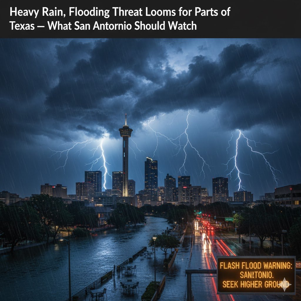
For the San Antonio metro area, the outlook is less dire. Rainfall is expected to be much lighter: most forecasts suggest under an inch of accumulation for most of the city. However, a few stronger storms could bring localized, heavier downpours, and there remains a non-zero chance of flooding in poorly drained or low-lying parts of town.
Why Flooding Could Become Dangerous
One of the biggest concerns is a meteorological phenomenon called training storms. This happens when thunderstorms repeatedly form over the same area, one after another, much like train cars following the same track. When that happens, rainfall can accumulate rapidly, overwhelming local drainage systems.
The problem is compounded by the terrain in the Hill Country: lots of steep hills, narrow valleys, and small waterways that can rise quickly. Even moderate rainfall — if it comes in repeated bursts — can trigger flash flooding.
Also, excessive runoff is a real threat. When the ground can’t absorb water fast enough, rainwater flows rapidly into creeks, streams, and low-lying roads, raising water levels quickly. Urban areas could see water pooling in neighborhoods, while low-water crossings and rural streams are especially vulnerable to fast rises.
Timing: When to Expect Rain
Here’s a rough timeline of how this weather event is expected to unfold:
- Tonight: Scattered thunderstorms will begin to develop over the Hill Country, especially after dark. These could intensify as the night goes on, particularly west of San Antonio.
- Thursday morning: A widespread round of showers and thunderstorms is likely. The rain will be most concentrated in the Hill Country, though some of it may edge toward Central Texas.
- Thursday afternoon to evening: Storms are expected to shift eastward, potentially bringing scattered downpours to the San Antonio region. Rain chances in the city could be around 60–70% during this time.
- Through early Friday: Flooding concerns remain in effect, especially in the zones under watch.
Potential Impacts
If conditions play out as forecasters expect, here are some of the likely impacts:
- Flash Flooding: Creeks, streams, and low-water crossings could flood quickly, especially in hilly or valley areas.
- Urban Flooding: Streets in San Antonio, particularly those with poor drainage, may accumulate water, leading to dangerous driving conditions or even temporary road closures.
- Road Hazards: Flooded roads can be deceptive — what looks like shallow water could be deep enough to stall vehicles. Drivers may underestimate the danger.
- Rapid River Rises: Small rivers and tributaries could rise quickly, increasing the risk for sudden flooding.
- Property Damage: Homes in flood-prone or low-lying areas might deal with water intrusion, especially if the downpours are intense or long-lasting.
What San Antonio Residents Should Do
Given the threat, here are some practical steps for people in San Antonio and the surrounding region:
- Stay Informed
Monitor weather updates from trusted local sources and the National Weather Service. Forecasts could shift, so staying alert is key. - Avoid Flood-Prone Roads
Never attempt to drive across flooded streets or low-water crossings. Even a small amount of fast-moving water can be dangerous. - Make a Plan
Identify safe places in your home in case water begins to rise. If you have family or neighbors who may be more vulnerable, check in on them. - Prepare for Power Interruptions
Rainy storms can knock out power. Have flashlights, a power bank, or other alternatives ready. - Move Valuables to Safety
If you live in an area that might flood, consider moving important or expensive items off the ground. - Charge Your Devices
Keep your phone and any backup battery fully charged so you can receive alerts and stay in touch. - Limit Travel
During the heaviest rain windows, try to avoid non-essential driving — especially at night or in unfamiliar areas.
Why Even Light Rain Should Be Taken Seriously
Even though the worst of the rain is likely to stay to the west of San Antonio, the city isn’t completely out of the woods. A few strong storms, especially if they train or linger, can still cause flash flooding in spots that are typically less prone.
San Antonio has seen serious flooding before when conditions looked manageable. Its creeks and urban drainage systems can be overwhelmed, and water can rise faster than people expect. That means even a forecast of “only half an inch to an inch” warrants at least some vigilance — especially in vulnerable neighborhoods or near drainage channels.
The Bigger Picture: Why This Weather Event Matters
This threat is not just about rain; it’s about the potential for significant flooding, especially in areas that have seen flooding before. The Hill Country is particularly at risk due to its geography, and even though San Antonio may be on the periphery of the worst conditions, the ripple effects could still hit hard.
Additionally, this is not a one-time burst of rain. With the potential for multiple rounds of storms and persistent moisture, the risk of training thunderstorms makes this more than a standard rain event. That repeated rainfall could lead to more severe flooding than a single, short-lived downpour.
Residents who take this seriously now — by staying informed, avoiding high-risk roads, and having a contingency plan — will be better prepared if the rain becomes more intense than expected.
Bottom Line
- A flood watch is in place for parts of the Hill Country and South-Central Texas as a moist, low-pressure system moves in.
- The western Hill Country faces the highest flood risk, with forecasts calling for 1 to 3 inches of rain and isolated places possibly getting more.
- San Antonio is expected to get lighter rain overall — under an inch in many places — but localized flooding is not out of the question.
- Residents should stay alert, avoid flooded roads, prepare for potential power issues, and know where to go if flooding starts.
- Even a moderate rain event can become dangerous if storms train or linger, so taking the threat seriously is important.
As the night sets in, the skies over Texas could turn increasingly ominous. For those in and around San Antonio, it’s better to err on the side of caution — stay weather-aware, make plans, and don’t underestimate what even a “light” flood threat can bring.